Emergency
Tourist Police
1144
Call now
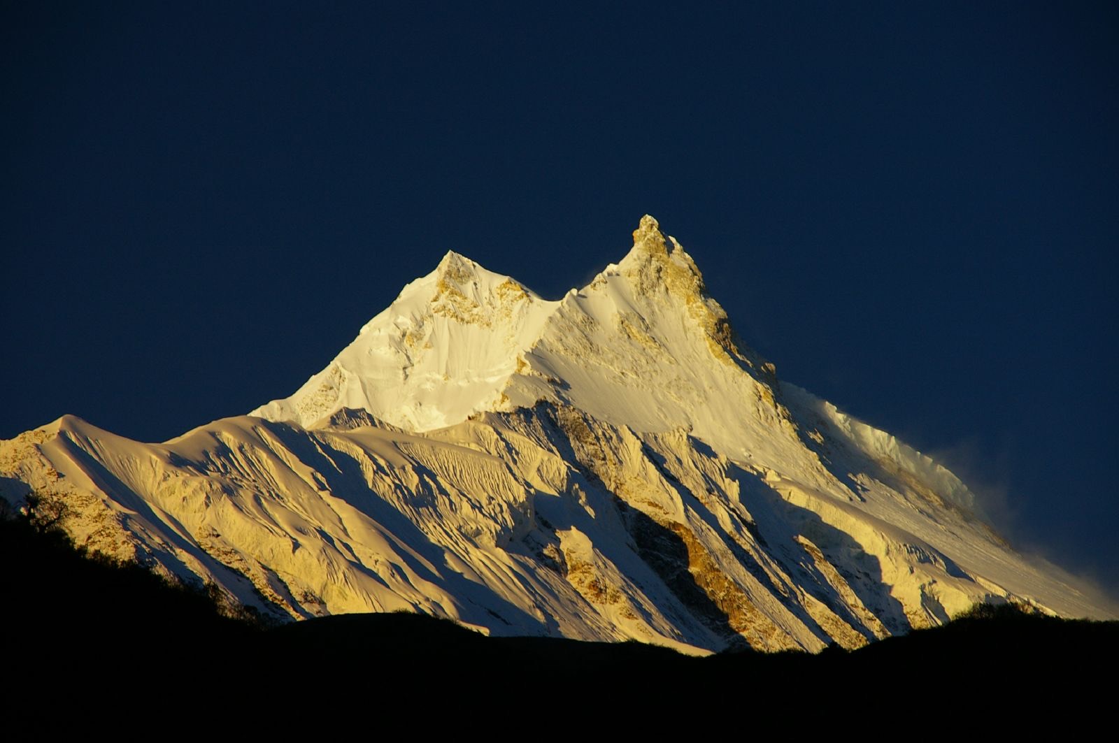
Everything you need to plan a safe and successful trekking expedition in Nepal, from route selection to emergency response.
Match difficulty and altitude to your experience.
Spring and autumn give the most stable weather.
Check 72 hour forecasts for every checkpoint.
Layer up; verify boots, shelter, and electronics.
Read hazard maps and brief your team.
Register with TIMS, share itinerary, head out.
Check forecasts every morning and evening; turn back on rapid changes.
Carry an offline map; never split from your group on unmarked terrain.
Carry a satellite communicator above 4,000 m.
Avoid loose slopes after rain; cross exposed sections at dawn.
Shelter immediately, keep dry, ration food, descend if possible.
Cross early morning when flow is lowest; unbuckle hip belts.
Store food sealed; give yak trains the inner trail side.
Save these offline before departure. Share your itinerary with your embassy.
Drops ~6 °C per 1,000 m climb. Pack a -20 °C bag above 4,500 m.
Above 40 km/h on a pass: postpone the crossing.
>10 mm/day raises landslide risk on loose trails.
Fresh snow >15 cm on a pass = avalanche caution; wait 24 h.
Below 1 km, halt navigation across glaciers or moraine.
Low humidity at altitude masks dehydration, drink hourly.